

£140
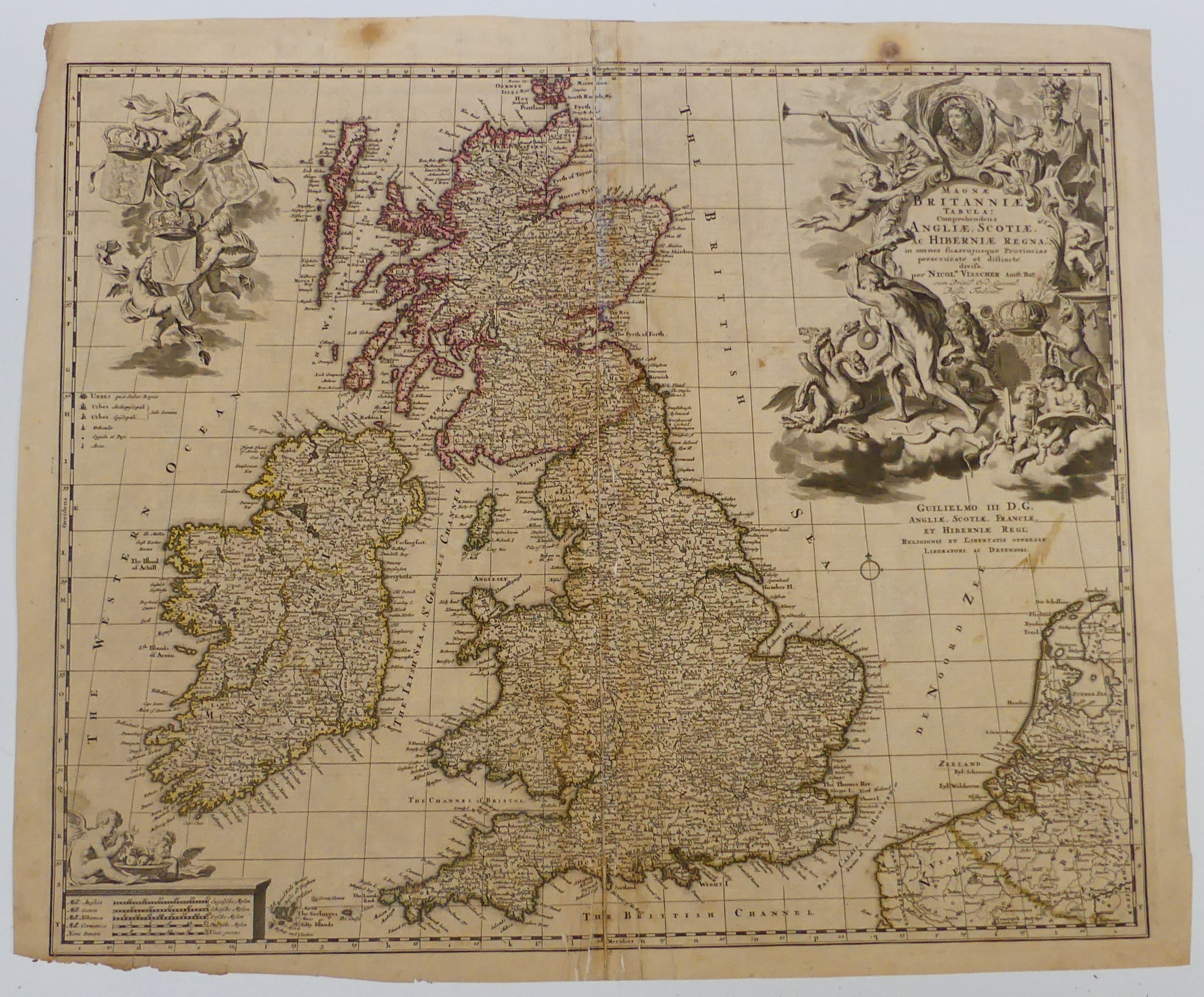
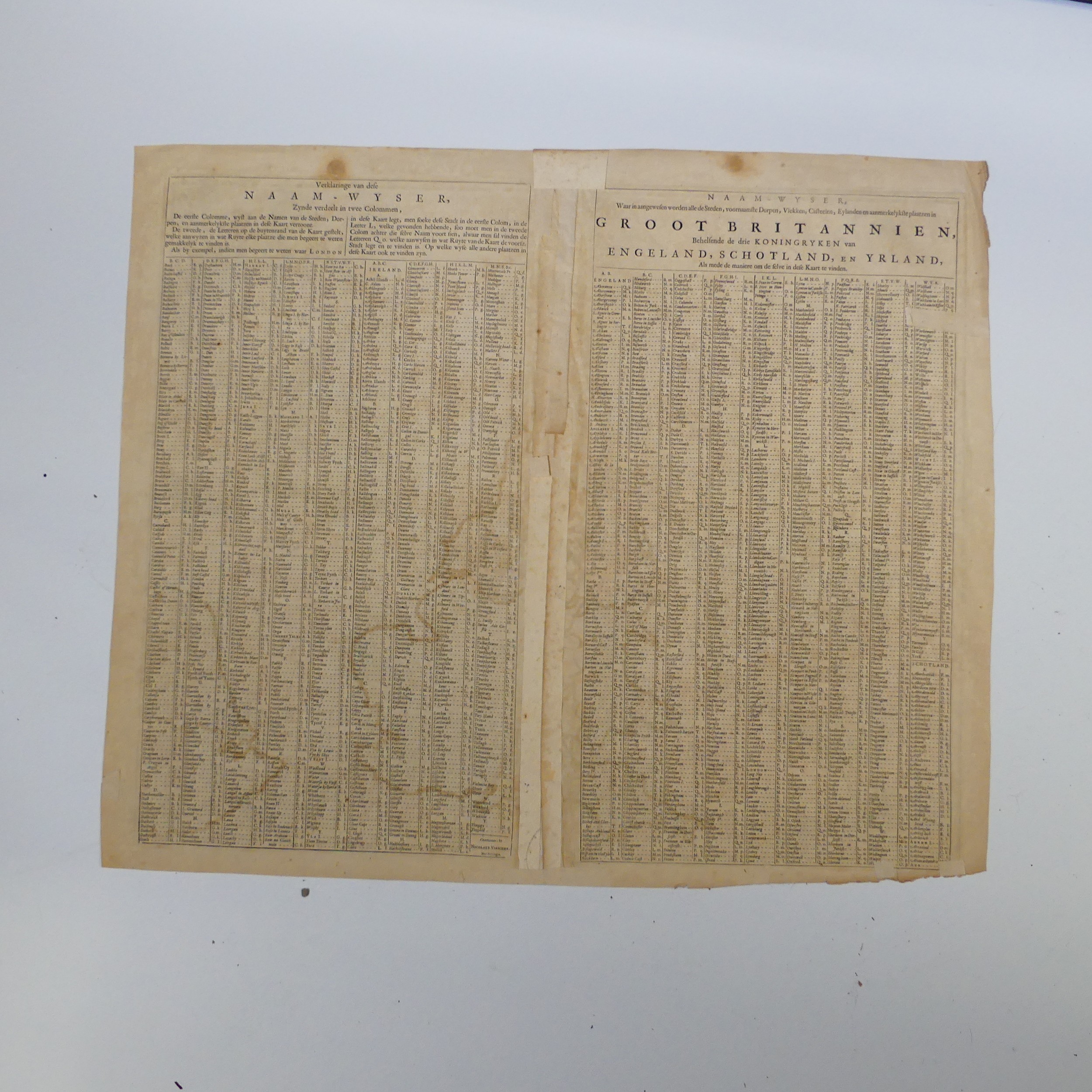
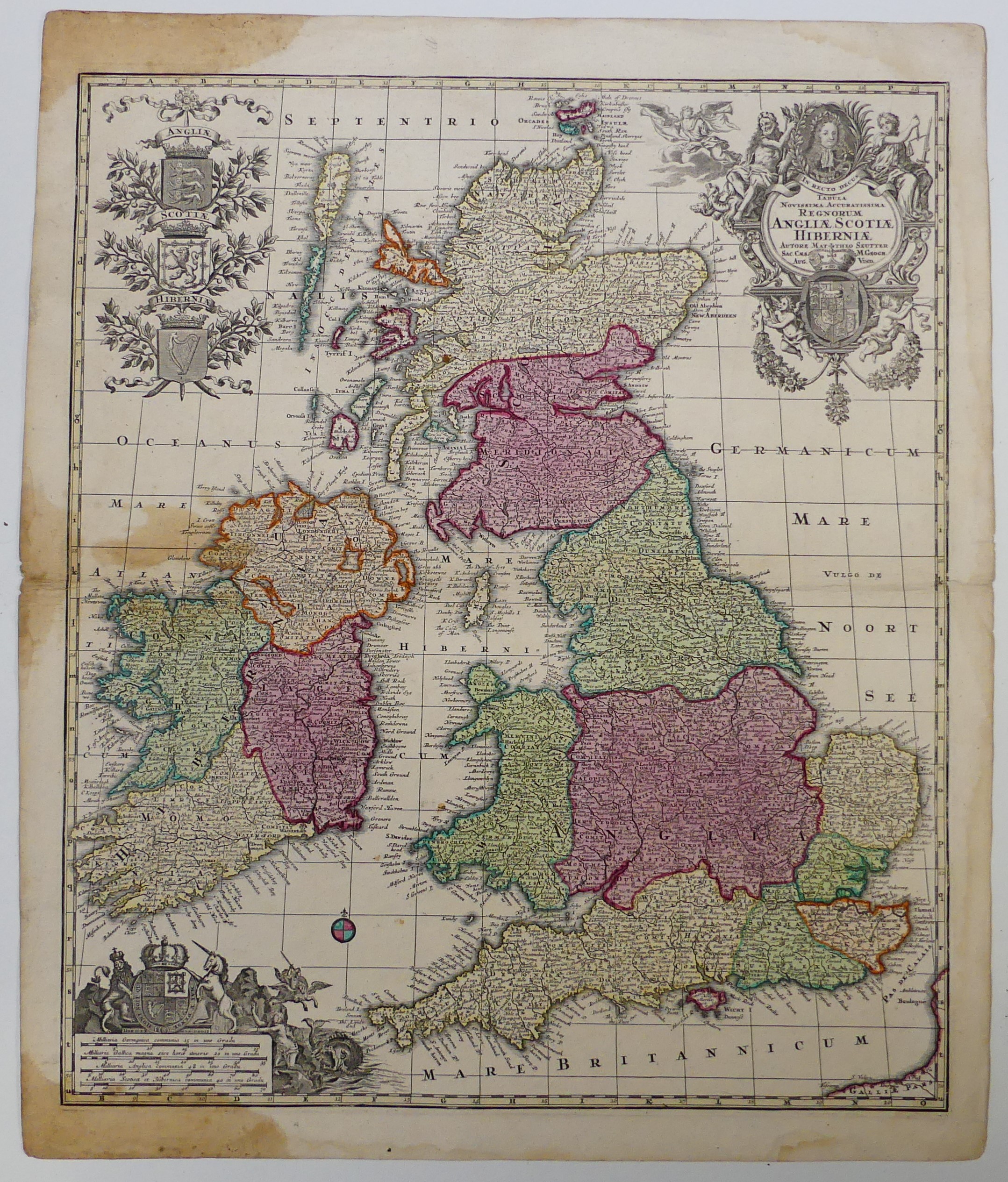
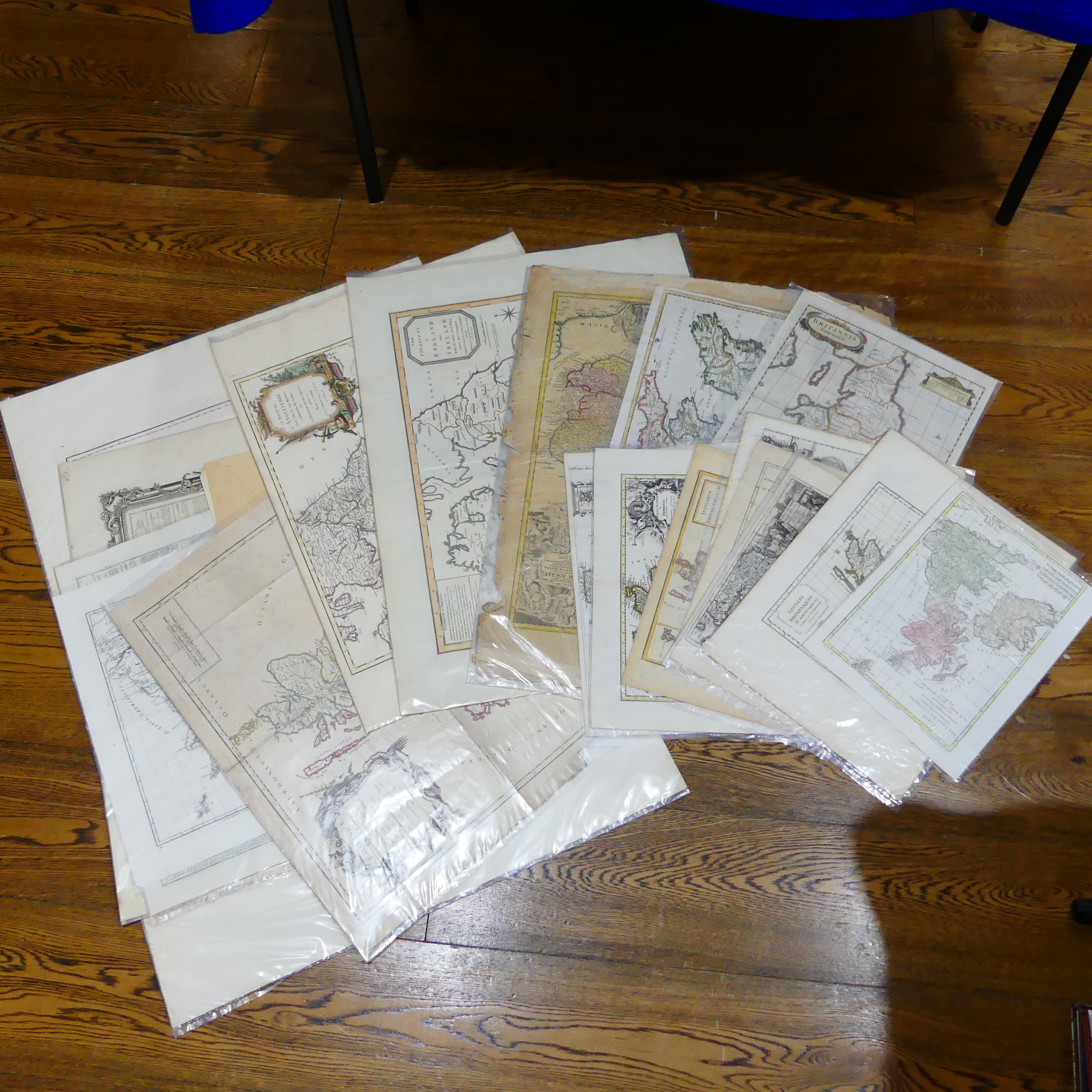
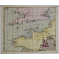
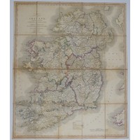
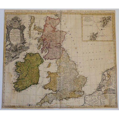
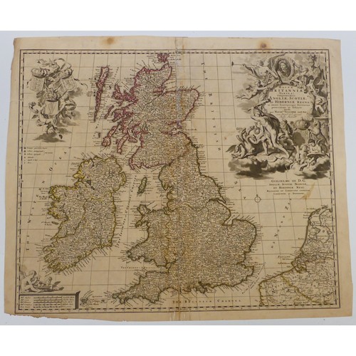
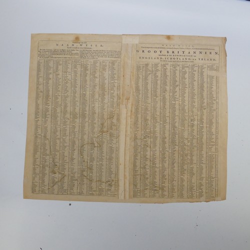
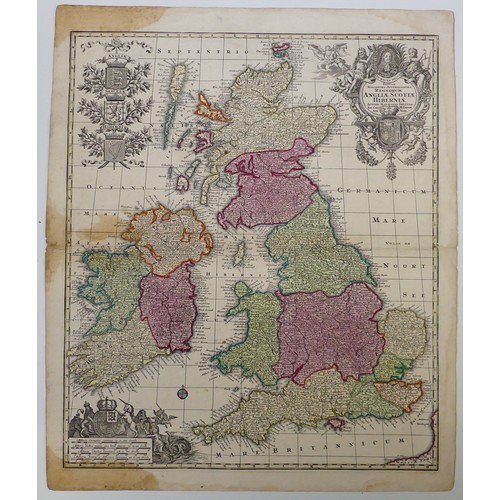
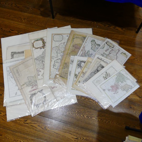
The United Kingdom; a quantity of 17th and 18thC engraved Maps, including Seutter (G.M); TABULA NOVISSIMA ACCURATISSIMA REGNORUM ANGLIAE, SCOTIAE, HIBERNIAE,' with contemporary hand colouring, pub. Nuremberg c1730, plate mark approx. 585mm x 495mm, Homann Heirs 'Magna Britannia complectens Angliae, Scotiae et Hiberniae…', later colouring, and 'Magnae Britanniae pars meridionalis in qua regnum Angliae', poor condition, Vischer 'Magnae Britanniae Tabula', etc., all unframed, mixed condition, as found (approx. 22)
Provenance; The Alan Winning Collection of Antiquarian Maps, Books and Atlases. Beginning in the 1970’s with an interest in the 19th Century development of the railway network and the County Maps of this period that charted it, Alan expanded his academic interest into good early printed maps, town plans, travel guides, books and atlases and has been adding to his collection over the past 50 years.
Fees apply to the hammer price:
Room and Absentee Bids:
21% inc VAT*
Online and Autobids:
24.6% inc VAT*